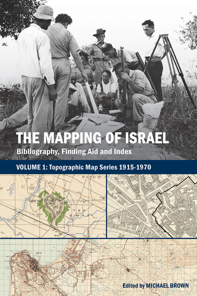
The Mapping of Israel: Bibliography, Finding Aid and Index
Volume 1: Topographic Map Series 1915-1970
Now available in print and online!
The Mapping of Israel: Bibliography, Finding Aid and Index. Volume 1: Topographic Map Series 1915-1970 provides a centralized listing of topographic maps covering present-day Israel published from 1915 to 1970.
The book offers sheet-level detail for nearly 30 map series ranging in scale from 1:2,000 to 1:125,000, including details for known revisions and reprints. Each sheet entry includes information on known holdings of the map sheet. The overwhelming majority of these maps are available in digital form and can easily be accessed online from the information included in the book. The institutions that house the map sheets vary but include the Australian War Memorial, the British Library, Haifa University, Hebrew University of Jerusalem, Israel State Archives, the Library of Congress, the National Library of Israel, the National Library of Australia, the Palestinian Museum Digital Archive, Survey of Israel, Tel Hai College, and more.
Accompanying the detailed sheet entries, the book’s index provides the reader an overview of material available for a particular location and also refers the reader to variations in location names.